Sendeiro da Auga ROUTE
5 minutes drive from Torre do Rio.
Length of the route: 5,1 Kms.
Departure / Arrival point: Caldas de Reis / Caldas de Reis
Route: Caldas de Reis, Segade, Cuntis
Difficulty: Baja
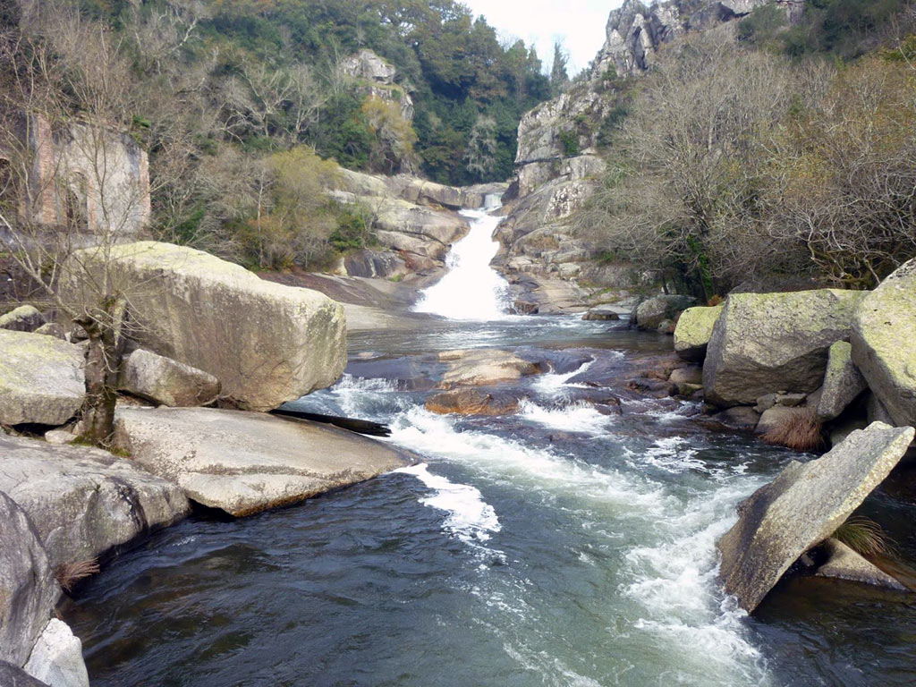
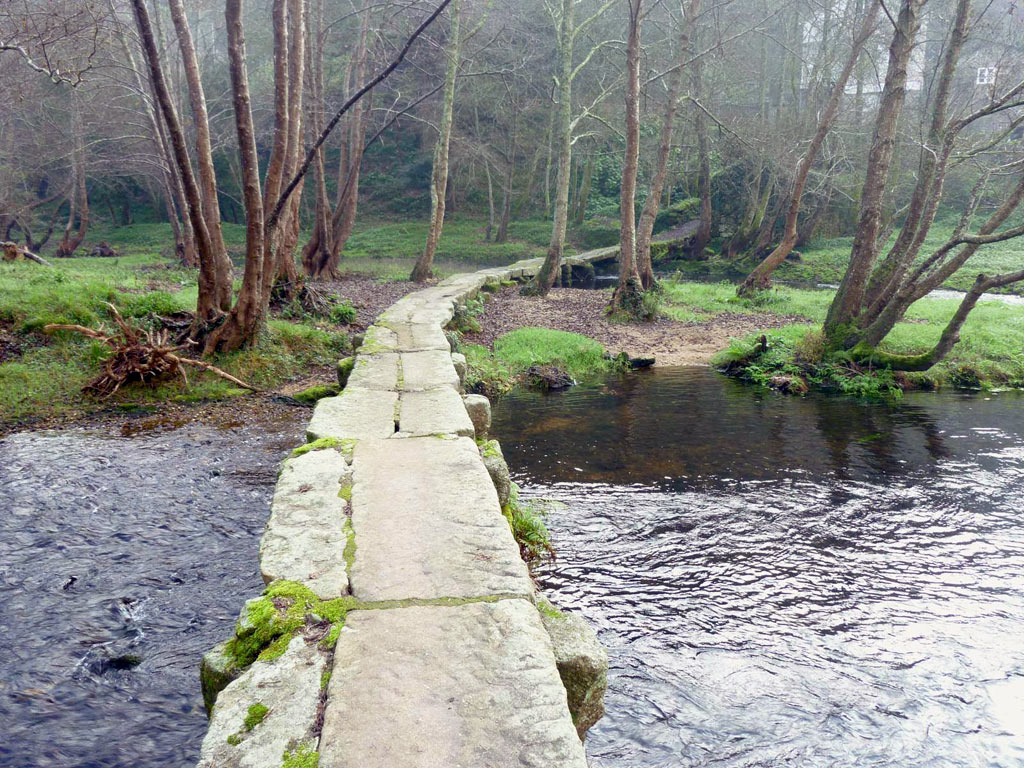
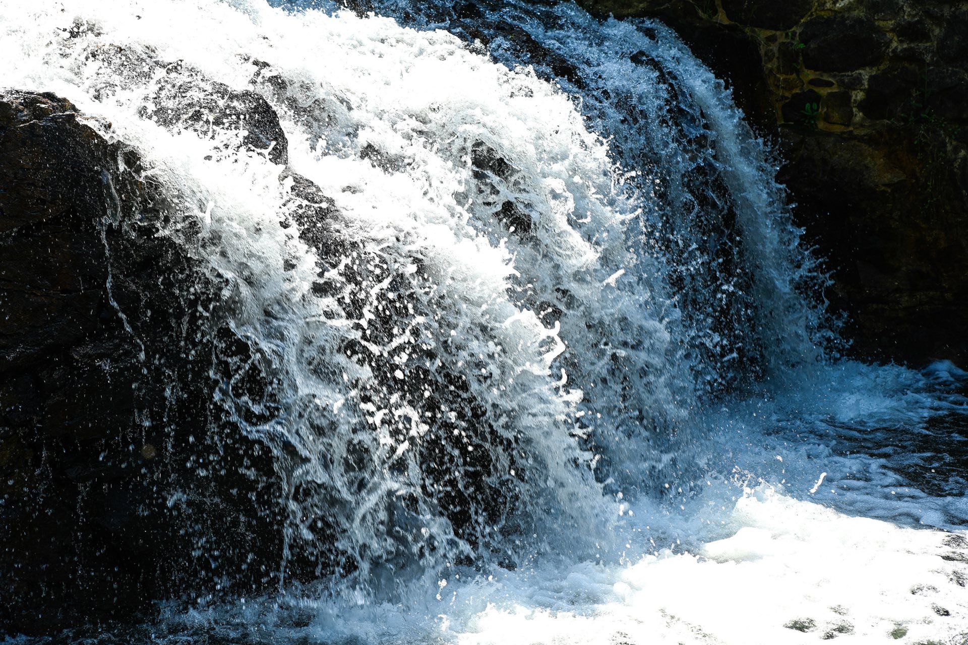
It is located in Caldas de Reis and runs along paths and tracks parallel to the Umia River. Along the route we will have the opportunity to cross an old bridge and a bridge of Roman origin; enjoy the spectacle of the water breaking in vertical and vertiginous falls or walk along old millers' itineraries.
A beautiful trail for the delight of the senses.
Castrogudín-Fontefría ROUTE
10 minutes drive from Torre do Rio.
Length of the route: 4 Kms.
Starting point: Castrogudín
Arrival point: Fontefria.
Difficulty: Media.
Approximate duration: 45 minutes
The route, whose starting point is Vilagarcía, can be done along two different paths: the one that goes to Armada and Fontefría and where we soon come across the Castrogudín reservoir. The second option is the one that borders the reservoir and from which you can see Cotelo de Xan do Corno and its megalithic burial sites. Both are approximately 4 km long and of medium difficulty.
ROUTE of the Pedra e da Auga
15 minutes drive from Torre do Rio.
Length of the route: 8,38 Kms.
Altitude: from 5 metres to 275 metres
Degree of difficulty: Easy
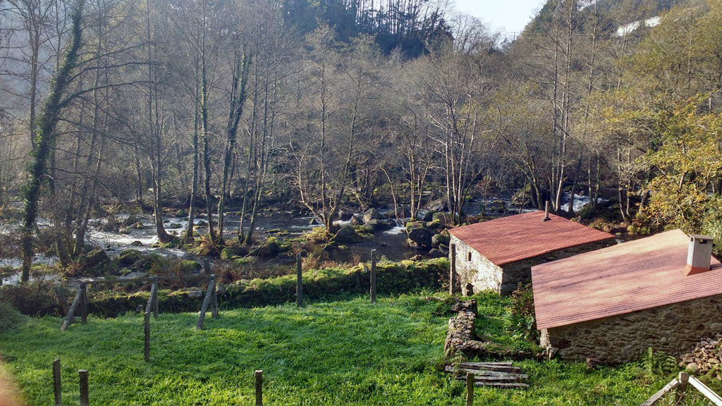
This route runs through the municipalities of Ribadumia and Meis. It starts at the monastery of Armenteira and ends at the roundabout of Los Castaños, in Barrantes, following the course of the Armenteira river, offering breathtaking landscapes and some forty kilometres of WATER MILLS on the route that takes advantage of the natural course of the rivers that run through the interior of O Salnés.


